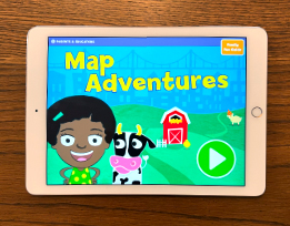
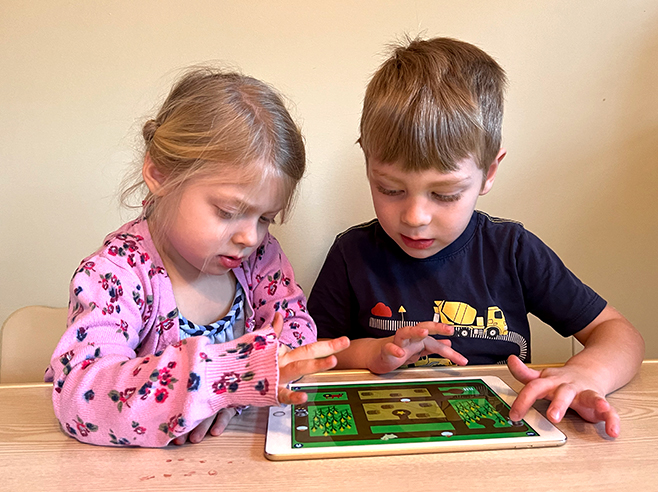
Collaborative play is needed to navigate a map while avoiding the goats.
Materials

- Map Adventures digital game on the iPad (one for each pair of children)
Preparation
- Make sure the iPads are charged and Map Adventures is installed and open.
Directions
- Pass out iPads to pairs of children, and if needed, help them take their pictures at the beginning of the game.
- On the next screen, show children Goat Challenge and tap on the top button. Demonstrate how to play if needed. Children will collect the animals and deliver them to the star — all while avoiding the goats! Point out that there are four different versions of the game, and they can try them all.
- Support children as they play:
- Sometimes it’s tricky for children to identify the correct star to deliver the animals to. This is a good opportunity to help children gain more practice in understanding spatial language (e.g., Which star is closest to the river? Yes, that one looks close to the river, but is there one that’s even closer?)
- It may also be tricky to navigate the map and avoid the goats at the same time. You might try playing one-on-one with a child to support their navigation (Is there another route we could take so that we don’t bump into the goats?) or to navigate around those sneaky goats!
