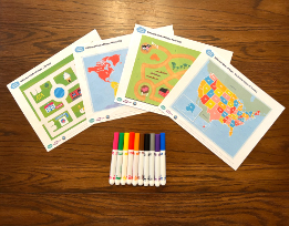
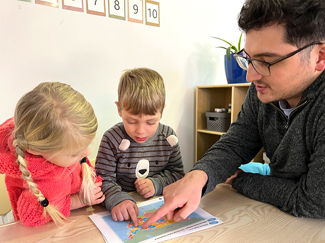
Children take a closer look at the maps presented during Circle Time.
Materials

- 2 copies of the same map or maps you used in the Different Kinds of Maps Circle Time activity (the farm map, the city map, the United States of America map, and/or the world map)
- Crayons or markers to mark their route (or yarn)
Preparation
- Print two copies of the maps you introduced in the Different Kinds of Maps Circle Time activity so that a group of up to four children can share them.
- Laminate the maps, if possible.
- Note: If children are using the United States or World maps, they are likely to need extra guidance in identifying states, countries, borders, and bodies of water.
Directions
- Tell children they will be taking a closer look at the maps you discussed during Circle Time. If you introduced more than one map, give children a choice of which map they’re interested in working with. Depending on the map they choose, suggest these activities:
- Farm Map: The cow wants to visit the ducks. If the cow follows the paths on the farm, what route would the cow take to get to the ducks? Draw the route.
- City Map: If you lived in the house at the bottom right-hand corner of the map and wanted to go first to the library and then to the ice cream stand, what route would you take? Draw the route.
- United States of America Map: Think about what states you’d like to visit. Find your state on the map and the state you’d like to visit. Use a crayon/marker or a piece of yarn to show what route you’d take.
- World Map: If you wanted to travel from where you live in the United States of America to a different country, which country would it be? Would you travel by airplane or by boat? Use a crayon/marker to show the route you’d take from where you live to your destination. Keep in mind that your route will be different depending on whether you go by boat or plane.
- If children continue to be interested in exploring the maps, offer them more ideas of how to navigate on their maps.
